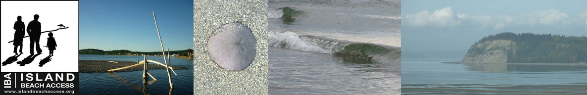
Island Beach Access
Whidbey Island Sea Kayakers (WISK) – Round the Island Paddle #19: Joseph Whidbey State Pk to Libbey Beach
General area of island: NORTH – West Side
Nearest town or community: Oak Harbor
Point to Point launch sites: #16 Joseph Whidbey State Park to #20 Libbey Beach Park.
Difficulty: Skill level I-II- depending on conditions
Paddle distance/time (one way): 6.6 mi.
Access: Ref: Getting to the Water’s Edge
- Site #16: Joseph Whidbey Beach Park: Lat/Long N 48: 18.471 W 122: 49.986
From Hwy 525 (Oak Harbor) go W onto Swantown Rd. Then 3 mi. to stop sign at T intersection with Crosby Rd. The entrance is on the N. side of Crosby. There are two parking areas with no facilities. One is near West Beach Rd, at the N. End of a line of waterfront houses. See GWE book for more detailed instructions. - Site #20: Libbey Beach Park Lat/Long: N 48: 13.925 W: 122: 46.011
From Hwy 525 go W onto Libbey Beach Rd. for 1.2 mi. to end
Special features, attractions, points of interest, warnings: (e.g., best times to paddle, wildlife, scenery)
Pleasant paddle made easier by favorable weather, wind, and currents. Paddle from the north takes you by West Beach homes, followed by high cliff homes. This is a relatively long but pleasant paddle on most days.
Watch weather and currents. Pleasant paddle if you time it so you are not fighting either one. If paddling southward in less than ideal circumstances, consider another exit site.
Libby Beach is not a great launch or takeout site. A short left hand staircase must be maneuvered with kayaks. Large rocks near the shoreline represent a hazard at high tide when they are all but hidden. Avoid westerly winds. Definitely better to launch or exit from Libby Beach Park at relatively low tide on calm days. Avoid windy conditions. Alternatively, one can continue paddling S. to Ebey’s Landing, another 4.5 mi. A long paddle
An alternative launch site is to the south of West Beach, just S. of the line of beach-front homes. Again, rocky but do-able.
KAYAKING SKILL LEVEL MATRIX (from Hole in the Wall Paddling Club newsletter)
| SKI | SKII | SKIII | SKIV | SKV | SKVI | |
|---|---|---|---|---|---|---|
| Geography (fetch: distance of unimpeded wind) |
Protected from wind & waves |
Fetch less than 10 nautical miles |
Fetch more than 10 nautical miles |
Crossings up to 5 nautical miles |
Crossings over 5 nautical miles |
Landings may be impossible |
| Hydraulics | Insignificant currents |
Max current 1 knot |
Max current 2 knots |
Currents above 2 knots |
Currents faster than paddle speed |
Anything possible |
| Route | Day trips nearshore |
Crossings less than 1 nautical mile |
Eddy lines & tiderips possible | Strong eddy lines, tiderips & boils |
Possible launching & landing in surf |
Anything possible |
| Possible conditions | Calm | Winds less than 10 knots |
Wind possibility more than 10 knots |
Steep waves, swells & wind over 15 knots |
Foul weather, whitecaps and fast current |
Rescues may be impossible |
| Skills & expertise | Willing to learn |
Wet exits and rescues |
Group & self rescue; bracing |
Reflexive bracing, navigation |
All skills plus roll recommended |
Extensive surfing |
Information supplied by Whidbey Island Sea Kayakers – May the kelp be with you.