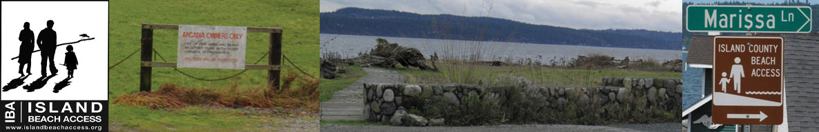
Island Beach Access
Whidbey Island Sea Kayakers (WISK) – Round the Island Paddle #17: Ebeys Landing to Keystone
General area of island: CENTRAL South – West Side
Nearest town or community: Coupeville
Point to Point launch sites: #28 Ebey’s Landing to #30 Keystone Jetty
Difficulty: Skill level II- depending on conditions (see chart below)
Paddle distance/time (one way): 4 mi.
Access: Ref: Getting to the Water’s Edge
- Site #28: Ebey’s Landing: Lat/Long N 11: 11.542 W 122: 43.858
From Hwy 20 N of the traffic light at Coupeville, turn W. on Terry Rd, keeping straight (W) onto Ebey Rd. This is a flat, wide beach. No ramp but launching is relatively easy. - Site #30: Keystone Jetty: Lat/Long: N 48: 09.493 W: 122: 40.257
Located in Ft Casey State Park near the Coupeville- Pt Townsend Ferry dock.
Special features, attractions, points of interest, warnings: (e.g., best times to paddle, wildlife, scenery)
This is a nice paddle under most conditions. It is facilitated by favorable tides and wind.
Ebey’s landing itself is a relatively nice launch/take-out site. Paddling south, you will eventually see the buildings and old barracks on Ft Casey State Park. You may encounter kelp beds in this area and strange but mild currents, possibly due to underwater terrain. Round the tip of Admiralty Head at the S. tip of Ft Casey to the Coupeville- Pt. Townsend ferry launch. Be wary of incoming or outgoing ferries. They approach quickly and create quite a wake. There is a strange water turbulence just N of the ferry launch site. Manageable, just be aware.
An alternative launch or take-out site is Driftwood Park, further eastward along Keystone Spit. You may experience a tidal or current push after passing Keystone that is a pleasant reward at the end of this paddle.
KAYAKING SKILL LEVEL MATRIX (from Hole in the Wall Paddling Club newsletter)
| SKI | SKII | SKIII | SKIV | SKV | SKVI | |
|---|---|---|---|---|---|---|
| Geography (fetch: distance of unimpeded wind) |
Protected from wind & waves |
Fetch less than 10 nautical miles |
Fetch more than 10 nautical miles |
Crossings up to 5 nautical miles |
Crossings over 5 nautical miles |
Landings may be impossible |
| Hydraulics | Insignificant currents |
Max current 1 knot |
Max current 2 knots |
Currents above 2 knots |
Currents faster than paddle speed |
Anything possible |
| Route | Day trips nearshore |
Crossings less than 1 nautical mile |
Eddy lines & tiderips possible | Strong eddy lines, tiderips & boils |
Possible launching & landing in surf |
Anything possible |
| Possible conditions | Calm | Winds less than 10 knots |
Wind possibility more than 10 knots |
Steep waves, swells & wind over 15 knots |
Foul weather, whitecaps and fast current |
Rescues may be impossible |
| Skills & expertise | Willing to learn |
Wet exits and rescues |
Group & self rescue; bracing |
Reflexive bracing, navigation |
All skills plus roll recommended |
Extensive surfing |
Information supplied by Whidbey Island Sea Kayakers – May the kelp be with you.