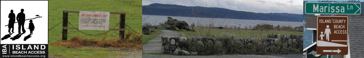
Island Beach Access
Whidbey Island Sea Kayakers (WISK) – Round the Island Paddle #16: Keystone to Ledgewood Beach Park
General area of island: CENTRAL South – West Side
Nearest town or community: Coupeville
Point to Point launch sites: #30: Keystone Jetty to #33 Ledgewood Beach Access
Difficulty: Skill level I-II- depending on conditions
Paddle distance/time (one way): 3.7 mi.
Access: Ref: Getting to the Water’s Edge
- Site #30: Keystone Jetty: Lat/Long: N 48: 09.493 W: 122: 40.257
Located in Ft Casey State Park near the Coupeville – Pt Townsend Ferry dock - Site #33: Ledgewood Beach access: Lat/Long N 48: 08.586 W 122: 36.260
From Hwy 525 go W onto Ledgewood Beach Rd. At T intersection, go a half mile, then W onto Seward Way. Sharp downilll with hairpin onto Driftwood Way. There is a parking area on the left. Stairs to beach but can be managed with kayaks.
Special features, attractions, points of interest, warnings: (e.g., best times to paddle, wildlife, scenery)
Many choices here for day trips. If starting or returning to Coupeville, an alternate launch site is Captain Coupe’s Park, closer toward Coupeville. Fewer worries about access at low tide. Kayak access at Coupeville isn’t great, especially at low tide. Access/egress around the pier or at the pier means considerable boat-hauling.
Alternatively, launch at Monroe Landing and plan to paddle round-trip, although a one-way paddle would work at a high tide. A strong westerly wind is often present on most afternoons. Consider launching from Monroe Landing before noon and letting the wind carry you back. Enter Lagoon only when the tide level is fairly high and perhaps still going in, so that you don’t find yourself trapped in there. Parking permit is needed at the Grasser’s Lagoon site. Limited parking is free at Monroe Landing.
Lots of ghost shrimp burrows can be observed along the sandy shores nearest Monroe Landing and as you ‘round a rocky point west of these sandy shores at a low tide, you’ll find lots of mussels clinging to the rocks. Grasser’s Lagoon is a popular clamming spot at low tide. Lots of birds to observe. In the spring an occasional whale might be sighted.
Be sure to check out the mussel barges a mile or 3 W of Coupeville
KAYAKING SKILL LEVEL MATRIX (from Hole in the Wall Paddling Club newsletter)
| SKI | SKII | SKIII | SKIV | SKV | SKVI | |
|---|---|---|---|---|---|---|
| Geography (fetch: distance of unimpeded wind) |
Protected from wind & waves |
Fetch less than 10 nautical miles |
Fetch more than 10 nautical miles |
Crossings up to 5 nautical miles |
Crossings over 5 nautical miles |
Landings may be impossible |
| Hydraulics | Insignificant currents |
Max current 1 knot |
Max current 2 knots |
Currents above 2 knots |
Currents faster than paddle speed |
Anything possible |
| Route | Day trips nearshore |
Crossings less than 1 nautical mile |
Eddy lines & tiderips possible | Strong eddy lines, tiderips & boils |
Possible launching & landing in surf |
Anything possible |
| Possible conditions | Calm | Winds less than 10 knots |
Wind possibility more than 10 knots |
Steep waves, swells & wind over 15 knots |
Foul weather, whitecaps and fast current |
Rescues may be impossible |
| Skills & expertise | Willing to learn |
Wet exits and rescues |
Group & self rescue; bracing |
Reflexive bracing, navigation |
All skills plus roll recommended |
Extensive surfing |
Information supplied by Whidbey Island Sea Kayakers – May the kelp be with you.