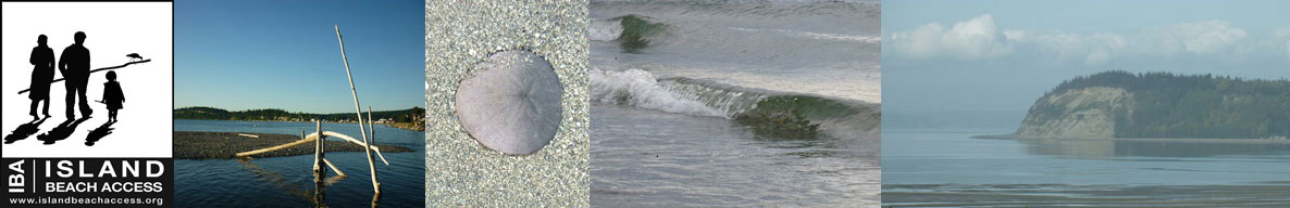
Island Beach Access
Whidbey Island Sea Kayakers (WISK) – Round the Island Paddle #11: Maxwellton Beach to Double Bluff
General area of island: SOUTH – West side
Nearest town or community: Clinton and/or Bayview, WA
Point to Point launch sites: #52: Dave Mackie Park (Maxwellton)
#44: Double Bluff Beach
# 46 Sunlight Beach Access
Difficulty: Skill level I-II depending on conditions
Paddle distance/time (one way): 5.5 mi. shoreline route. Shorter if direct route is taken
Access: Ref: Getting to the Water’s Edge
- Site #52: Dave Mackie Park (Maxwellton) Lat/Long: N 47: 56.357 W: 122: 26.670
Proceed S. from Hwy 525 down Maxwellton Rd about 5 Mi. Ample parking, picnic areas, and ball fields. Shifting sands necessitate carrying kayaks from the launch across a sand bar, particularly at low tides, but not unpleasant. - Site #44: Double Bluff Beach Lat/Long: N 47: 58.910 W: 122: 30.850
Take Hwy 525 to Double Bluff Rd. Follow 2 mi. to parking lot. - Site #46: Sunlight Beach Access Lat/Long: N 47: 59.456 W: 122: 28.924
From Hwy 525, to S onto Bayview Rd. Turn R onto Sunlight Beach Rd. Proceed 0.9 mi. Site is between the house at 2440 E. Sunlight Beach Rd and the one at 2436 E. Sunlight Beach Rd. Looks like an empty lot. Do not park on Sunlight Beach Rd or in front of any homes.
Special features, attractions, points of interest, warnings: (e.g., best times to paddle, wildlife, scenery)
A pleasant paddle from either direction. Good views of shipping lanes and Olympics. Paddling N from Maxwellton is the preferred direction if there is a south-westerly wind and outgoing tide. Following the shoreline is more interesting, while the shortest distance is a more diagonal direction to the Dbl Bluff parking area. Be warned that at low tide, one must carry your kayak quite a distance over sandy terrain to get to the parking area. Plan to launch or take out at Double Bluff at or close to high tide.
An alternative take-out or put-in point is a small public launch in the Sunlight Beach area. It is located between 2 beach houses and may be difficult to locate. See above description. Crossing from E to W along Useless Bay close to shore can be an exciting and exhilarating with a moderate to strong southerly wind. Safe because one is always close to shore in shallow water, but challenging to stay afloat with strong wind coming at 90 degrees to your kayak.
KAYAKING SKILL LEVEL MATRIX (from Hole in the Wall Paddling Club newsletter)
| SKI | SKII | SKIII | SKIV | SKV | SKVI | |
|---|---|---|---|---|---|---|
| Geography (fetch: distance of unimpeded wind) |
Protected from wind & waves |
Fetch less than 10 nautical miles |
Fetch more than 10 nautical miles |
Crossings up to 5 nautical miles |
Crossings over 5 nautical miles |
Landings may be impossible |
| Hydraulics | Insignificant currents |
Max current 1 knot |
Max current 2 knots |
Currents above 2 knots |
Currents faster than paddle speed |
Anything possible |
| Route | Day trips nearshore |
Crossings less than 1 nautical mile |
Eddy lines & tiderips possible | Strong eddy lines, tiderips & boils |
Possible launching & landing in surf |
Anything possible |
| Possible conditions | Calm | Winds less than 10 knots |
Wind possibility more than 10 knots |
Steep waves, swells & wind over 15 knots |
Foul weather, whitecaps and fast current |
Rescues may be impossible |
| Skills & expertise | Willing to learn |
Wet exits and rescues |
Group & self rescue; bracing |
Reflexive bracing, navigation |
All skills plus roll recommended |
Extensive surfing |
Information supplied by Whidbey Island Sea Kayakers – May the kelp be with you.